
The rustling sound of people getting up and changing into their kits in the low dim glow of approaching dawn brought me back to this side of consciousness. Sitting up, the heavy weight of that oppressive hopelessness seemed to have lifted. Regaining sobriety of awareness, I also regained my purpose to continue, albeit with less confidence than before. I repeated to myself: let’s just get to the next overnight control before making any decisions.
While shuffling around the control to get ready, I heard that familiar booming voice emerging from the hallway announcing warm-hearted greetings to all. It was from none other than Mimo. From the DC/Virginia region, his incessant smiling and cheerful disposition complemented each other like maple syrup over hot pancakes. He was never slow to compliment, always swift to encourage, the personification of that Chumbawamba chorus: “I get knocked down, but I get up again, ain’t gonna let anything get me down…” Given the fragility of my recovery, I realized that I needed someone like Mimo to encourage me. I asked him if I could join him.
Mimo and I headed north to resume. We were going to have to forage along the route to supplement what was lacking at the control. About 25 miles into the day’s journey, we spotted a Costa Coffee, a UK based cafe chain. By then any pastry or breakfast sandwiches they offered was like manna from heaven. The decent coffee boosted the octane rating of the meal.
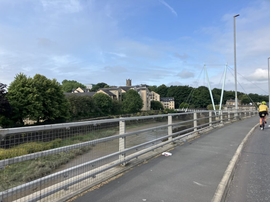
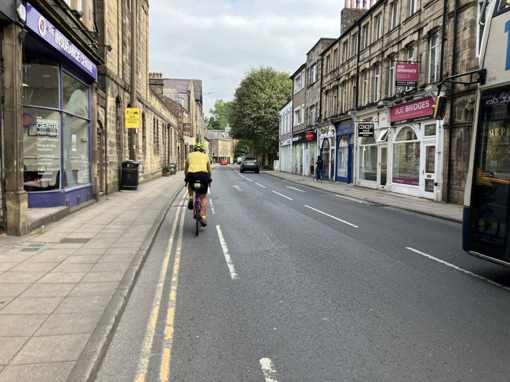
We continued through small cities such as Wigan and Preston, the once mighty Industrial North that powered Britain’s global rise, now displaying the region and the nation’s decay. En route we passed through Lancaster. Architecture at time point changed noticeably. Rather than the wood-framed structures, the primary building material was stone.
The Esso truck stop in Warton was our first intermediate control for the day. It marked a change in our surroundings, as we made our way into more scenic landscape of Cumbria and northwestern England.
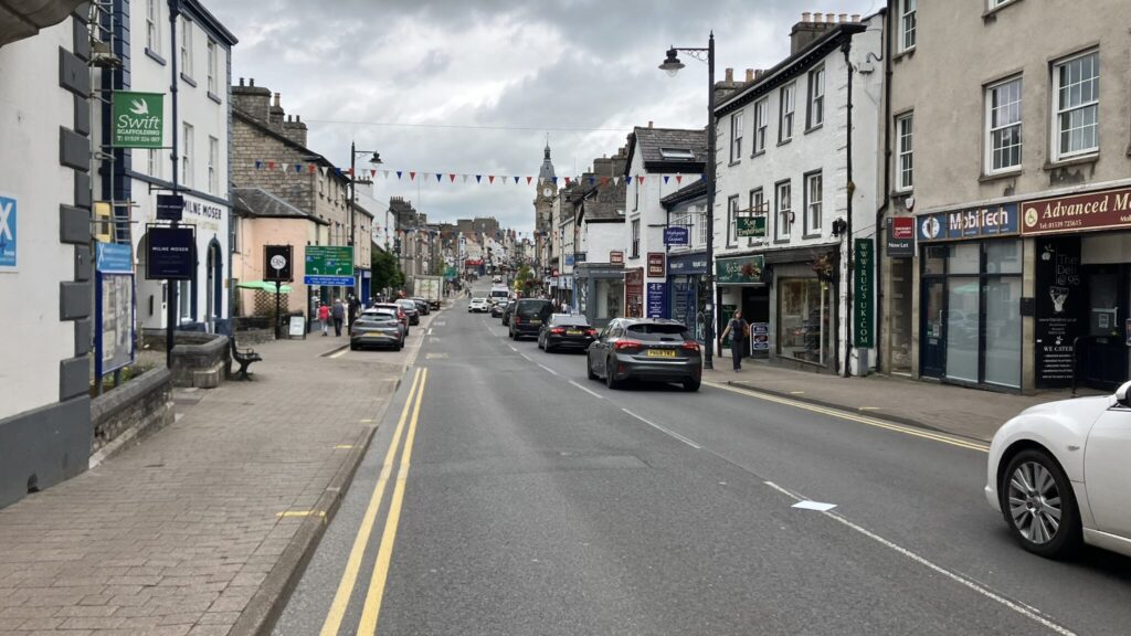
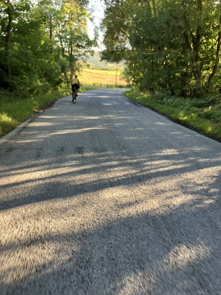
Passing Kendal, the terrain changed to rough undulations with the roads flanked by treeless fields and tufts of grass, instead of the smooth green pastures in the south. Boundary markers changed from stone to stacked slate. Riding along the eastern edge of the English Lake District made renown by William Wordsworth and his sister Dorothy, the stunning beauty of that rugged landscape was also on display just outside the national park’s boundary as I approached the first long climb on this route, the Bretherdale Head summit.
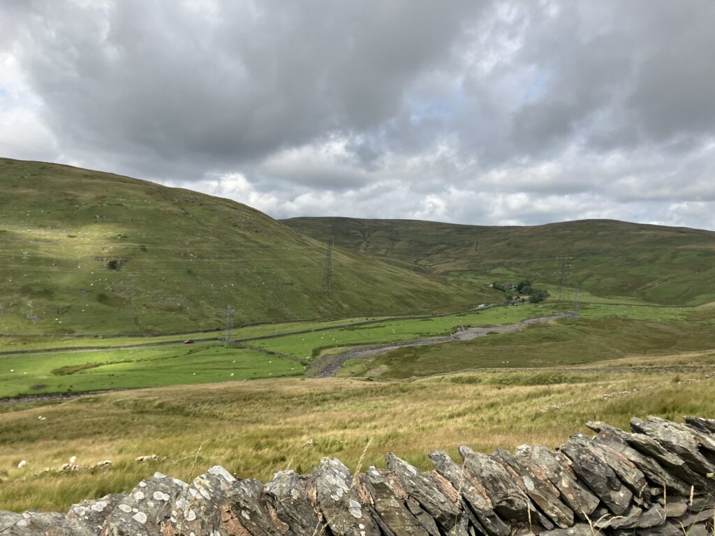
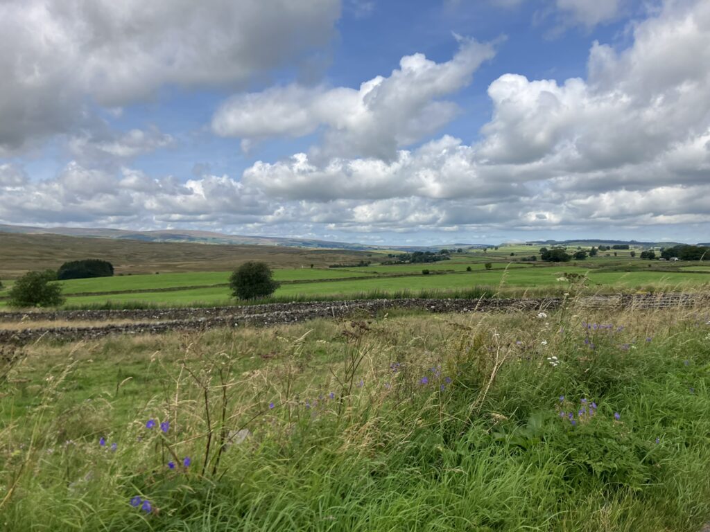
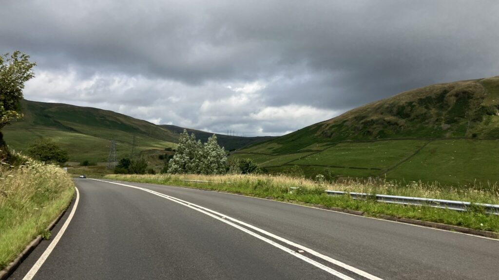
It was a steady grade about 9 miles in length and over 1,300 ft in gain. With dark clouds hovering just ahead of me, the varying quality of light reflected through and off the clouds mixed with the blemished patches of dark grey, white and blue over the green and brown of the fields created a contradictory scene of ominous welcome. As I followed the twists and turns of the road, I felt what seemed like an errant drop of water on my face, then no more.
After Mimo caught up to me near the summit, we descended into the valley floor, now more verdant than on the other side. Since our last stop was about 40 miles at Carlisle, we decided to find a place to eat when we reached Penrith about 6 miles further.
By now, I caught wind that LA Matt had abandoned. The square-tapered bottom bracket on his steel frame bike started to unthread. He made several attempts to tighten on his own, but his repairs ate into his time. Eventually he couldn’t recover at his pace. At Golborne he ended his journey.
The route took us through Carlisle’s city center. Passing by the Carlisle Citadel with its imposing twin towers made of reddish bricks, we wove our way through the city to cross the River Eden. Further on, we found the control which was a McDonalds. Still full after the Penrith stop, I ordered a small order of fries and a double espresso to ward off the late afternoon drowsiness. Other randos came and went. Eventually Expat Matt joined us as we made our way to cross into Scotland.
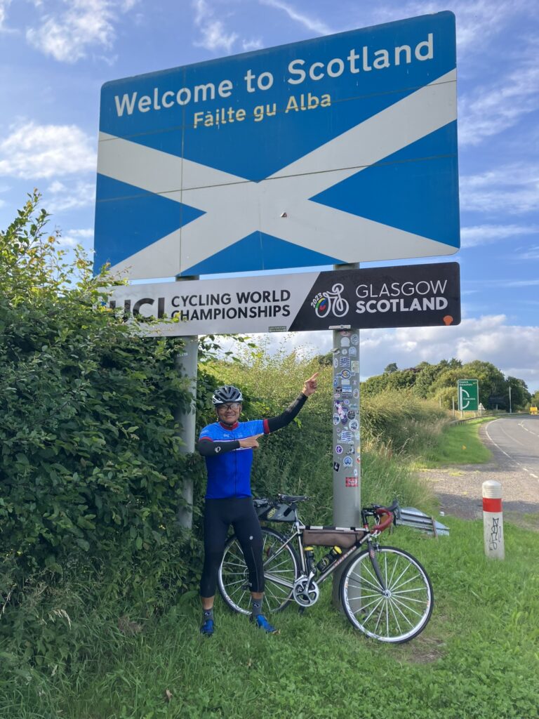
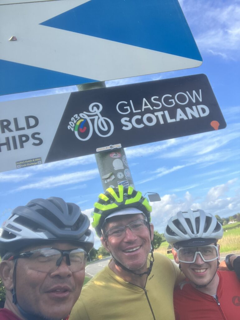
We started to ascend on a gentle grade after leaving Longtown. 3 miles further down and we spotted the “Welcome to Scotland” sign with the blue and white of the cross of St Andrew. We stopped for photos to celebrate our final “country”, having cycled more than half the distance to our destination.
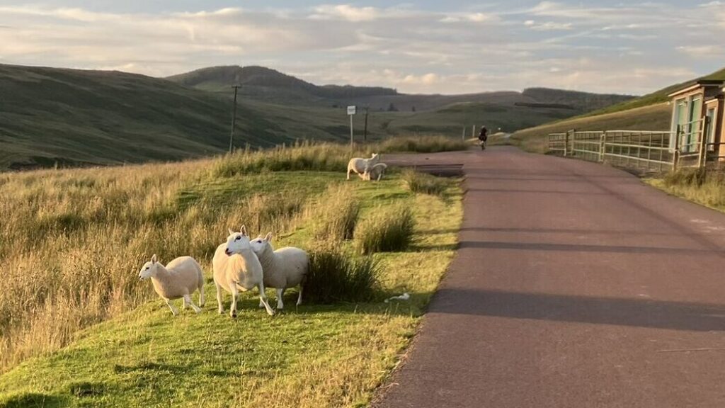
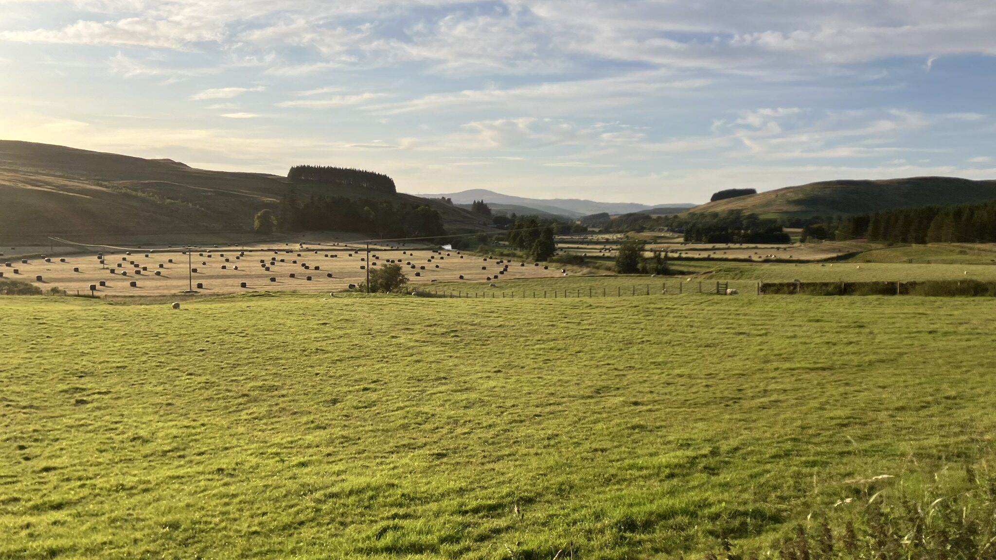
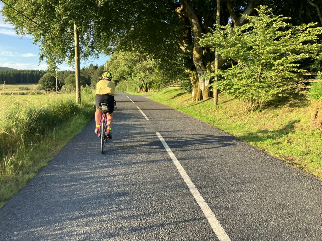
Though considered the Lowlands, the contours of the landscape was much hillier than the “low” in its name suggested. Long climbs followed by long descents on either side of the summit. The change in pace was a respite for me from those treacherous spiky peaks of the south. Large swathes of forestry land were on either side of the road. When no trees were present, the barren sides were dotted with grazing sheep.
Seeing a farmer’s field along the side of the road reminded me of Robert Burn’s “Ode to a Mouse” in which he made his timeless observation on fate.
The best laid schemes o’ mice and men
Gang aft agley (often go awry)
Not just poignant in describing life in general, it certainly captured the essence of my LEJOG experience thus far. How many non-refundable rooms I left empty as I fell behind schedule? How many timetables I have discarded in the middle of brevets due to mechanical or physical failings?
Unlike Burns’ “beastie”, I wasn’t yet going to knuckle under fate’s demands.
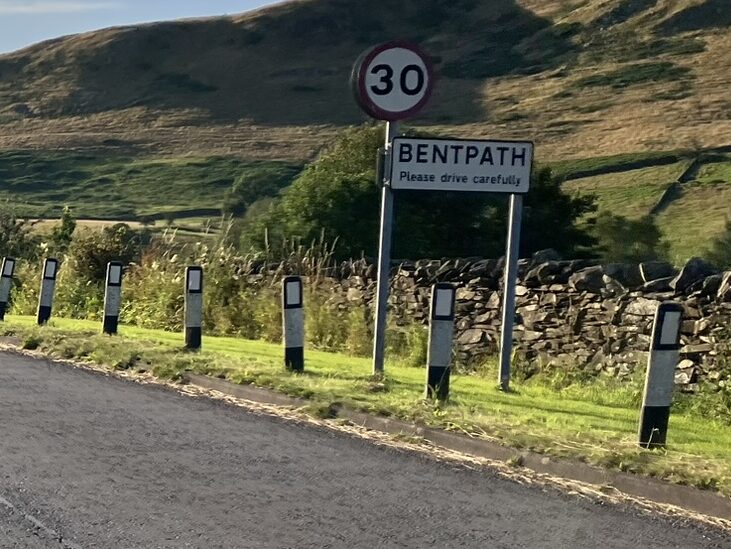
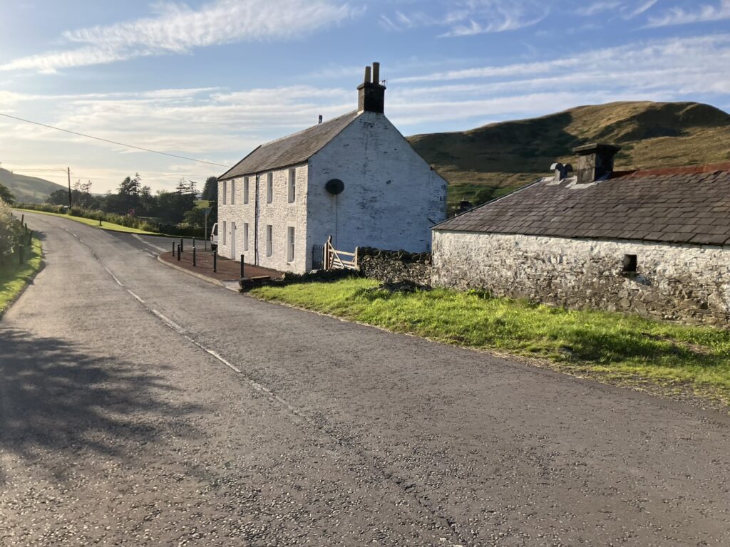
Just after Langholm, we climbed and then descended on newly chip-sealed roads with very loose gravel, making the ride very sketchy at times. On the side of the road loose rocks piled up, making bike handling a challenge. Expat Matt who crashed and then recovered on Day 1 in Cornwall took extra precautions when descending. Mimo and I bombed down them but would soft-pedal so that he could catch up. We biked through small Scottish villages, some like Bentpath, where just a solitary building or two stood.
As the sun began to make its final drive toward the horizon, the air became noticeably cooler. Another LEJOGer passed us. I hammered up a climb to catch that rider, more out of a need to stay warm than to race. Soon darkness prevailed.
We arrived at the Kirkburn control. Andy greeted us in person: “All the beds are taken. Bath towels are still a little wet as I couldn’t dry them in time at the laundry”. His plan at this control went further awry as the owner refused his request to set up air mattresses. While there were still some available sofas, I tried to “secure” a spot by placing my drop bag and gear on it before heading off to shower and eat. For food they offered pasta with tomato sauce. The pasta was soggy but with a crunch in the middle: they were half cooked and let it sit in an inch of water that wasn’t drained off. How the fuck could any adult not know how to boil and prepare pasta?
If suffering through a shitty meal wasn’t enough punishment, by the time I was ready to sleep, another rider had occupied my sofa with my belongings pushed to the floor. In muted indignation I collected my stuff and sought out a clearing on the hardwood floor to try to “sleep”. Just after laying down, I felt a persistent cold breeze about an inch high off the floor, blowing in from underneath the doorway through the gap. I got back up, put on my arm and knee warmers, vest, jersey and wool gaiters to stay warm. My drop bag became a pillow. I asked Andy if there were other places. The most he could offer was to let me know when a bunk bed became available after a rider left.
Not long on the floor, I felt a sharp jab on my arm followed by that distinctive Lancastrian voice: “A rider is leaving, and a bed is available. Take it now!” I jumped up, gathered my stuff in a corner and followed him. Looking around me I saw riders nearly taking up all the floor space. In earlier times, we would have called this set up a spreader event. The only disease being spread that night was sleeplessness.
I crawled into the hot bunk and bundled up into a fetal position to regain warmth. Per the timetable, I was supposed to reach Queensferry, just before the Forth River Bridge crossing, about 40 miles further down. Another write-off.
- Distance – 180 miles / 290 km
- Elevation – 8,879 ft / 2,706 m