
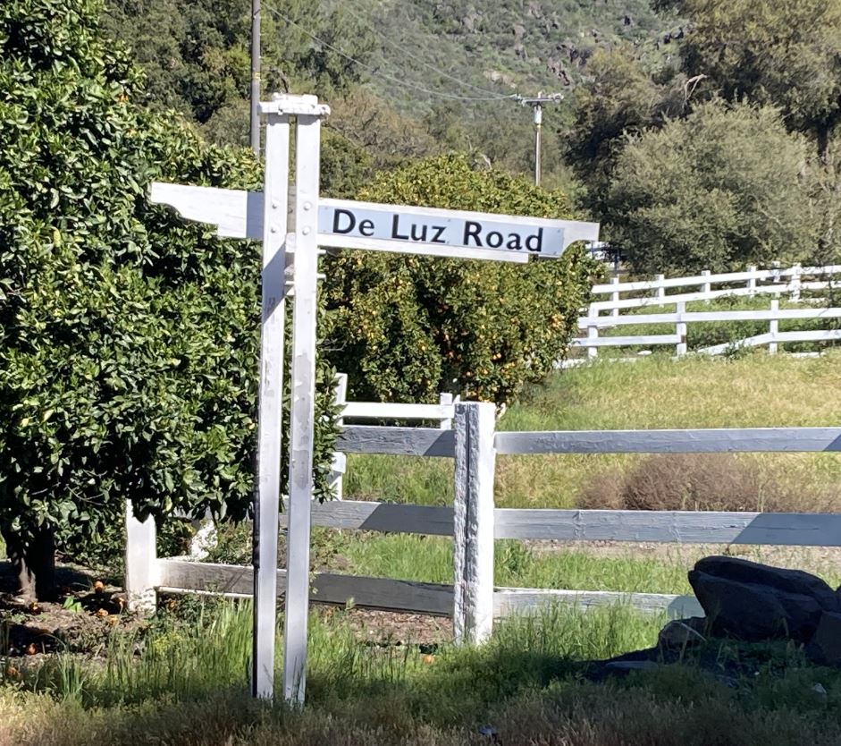
De Luz
200km/9000ft ACP Brevet
| Start time | Saturday April 12, 2025 7:00 am |
|---|---|
| Time limit | 13 hours 30 minutes |
| Ride ends | Saturday April 12, 2025 8:30 pm |
| Start location | Angelo's Burgers, 621 N Coast Hwy, Oceanside |
| Nearest parking | Street parking available on Windward Wy and Tremont St |
| Map | rwgps |
| Organizers | Matthew Cazalas |
| Registration info | Brevet has already taken place. |
| Registered riders | There are 13 registered riders. Matthew Cazalas Dean Dobberteen Nelson Estrada Aaron Holdaway Tony Lowery Alex Milewski Max Saenz Barbara Sullivan Wei Sun Jaime Sy-quia Elizabeth Tenuto Dorina Vaccaroni Royce Yang |
| Results | RUSA results page |
To not choose De Luz, you lose.
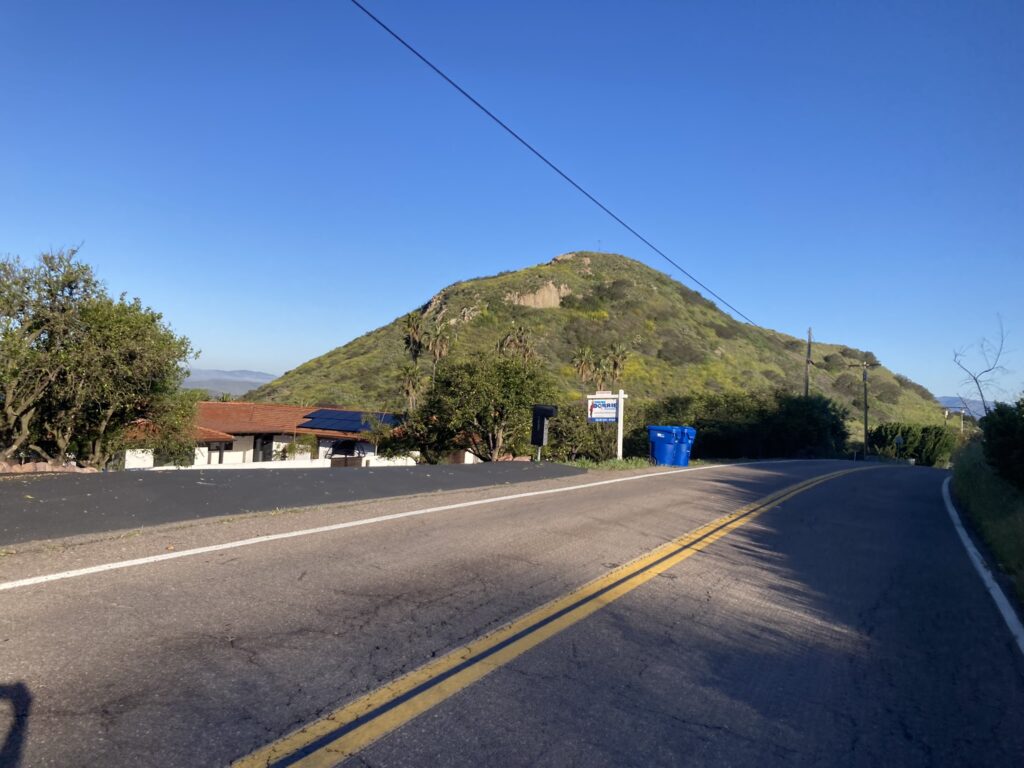
From the start at Angelo’s Burgers in Oceanside, riders will travel the San Luis Rey River Trail to Mance Buchanon Park. From College Blvd, you’ll make your way to Sleeping Indian Rd for a wee bit of cardio workout. When you reach the summit plateau, you’ll see the geographic feature for which the road is named, passing by orchards and farms toward Fallbrook.
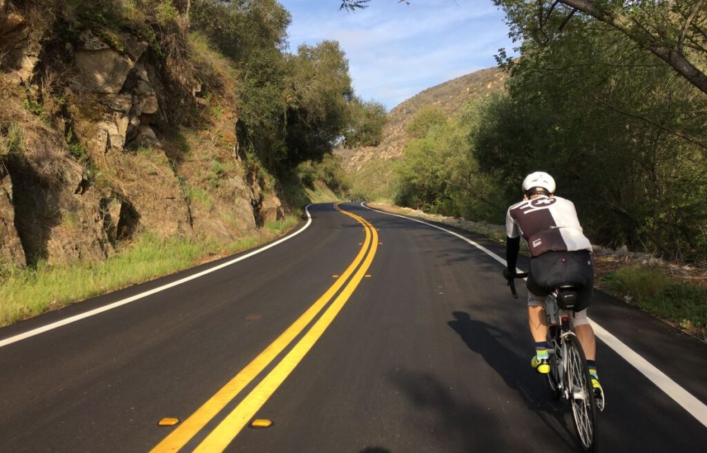
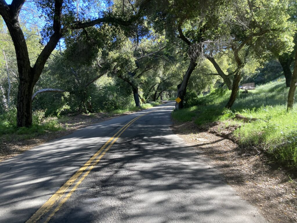
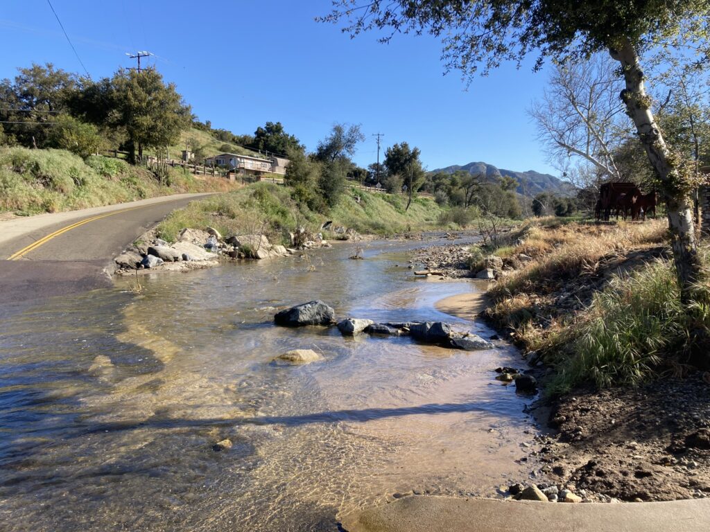
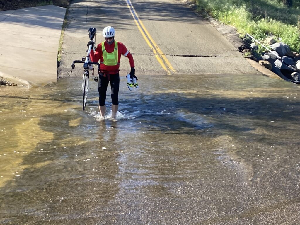
After a brief respite in the “Avocado Capital of the World”, you’ll descend down toward Sandia Creek where a series of challenging climbs begin. While you huff and puff on these climbs, you will experience that “solitary suffering” as you realize that car traffic is nearly non-existent in the backcountry of San Diego and Riverside Counties. You will be enchanted by views of the rugged hillsides covered in avocado trees and through ancient oak groves that provide refreshing shade over the road as you sweat up each of the climbs. If the winter storms dump abundant rain to the region, expect to ford over overflowing streams that run over the roads.
After the last climb on Rancho California Rd, you’ll descend back down to the City of Temecula where you’ll take the alternate route that circumvents the busy Old Town Front St to reach the control at the 76/Circle K followed by the climb up Rainbow Valley Rd to return to San Diego County.
From mile 52 on, the route follows Rainbow 200k in reverse, climbing up Couser Canyon Rd, Old Hwy 395 and Twin Oaks Valley Rd and through Elfin Forest and Harmony Grove. The relief you might feel as you start to descend on Del Dios Hwy will be quickly dispelled as there are a couple of short rises to keep you entertained. The final stretch to the coast is likewise peppered with rollers on Linea Del Cielo until the end of Via de la Valle.
If you are lucky, there may be wind from the south that will carry you back to the finish at Angelo’s Burger Burgers. If you are lucky….
Please read our accepted proof of passage.